Greater Emmitsburg
Historical Society
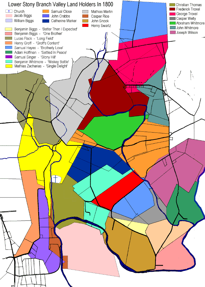
The colored sections of the map below are
the exact boundaries of the farms and landholdings in the Stony Branch
Valley as they existed in 1800. The lines underneath the map are
the boundaries of present day landholders. (Emmitsburg is 1 1/2
miles north west - North is to the top)